The visual record of your jobsite
Pull up the
site record.
Your jobsite photos, maps, plans, and 360° walkthroughs, organized by place and date. Answer questions, make a plan, and show everyone what you mean.
Riverside Project/Aug 14, 2024/Sample
01 / Plan overlay
Does the layout line up?
Put the plan over the aerial map. See where the footprint sits against the work your team captured.
Toggle the plan, then adjust the opacity to see both layers.
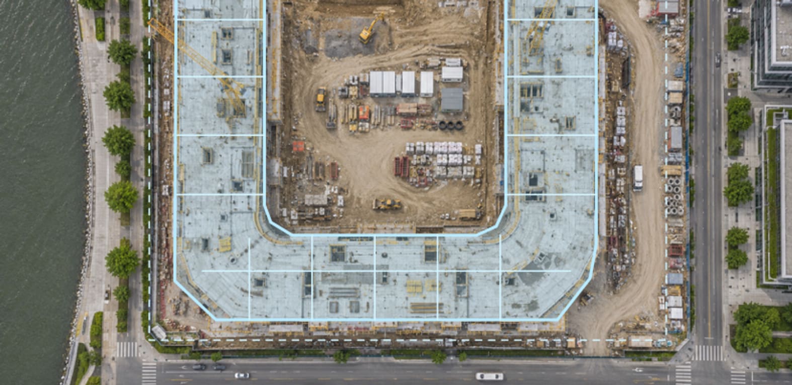
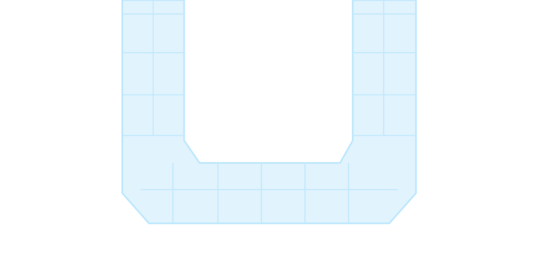 Site plan · A-101
02 / 360° walkthrough
Can you show me around?
Walk a new superintendent through the second level. Look around from two stops and point out the area in question.
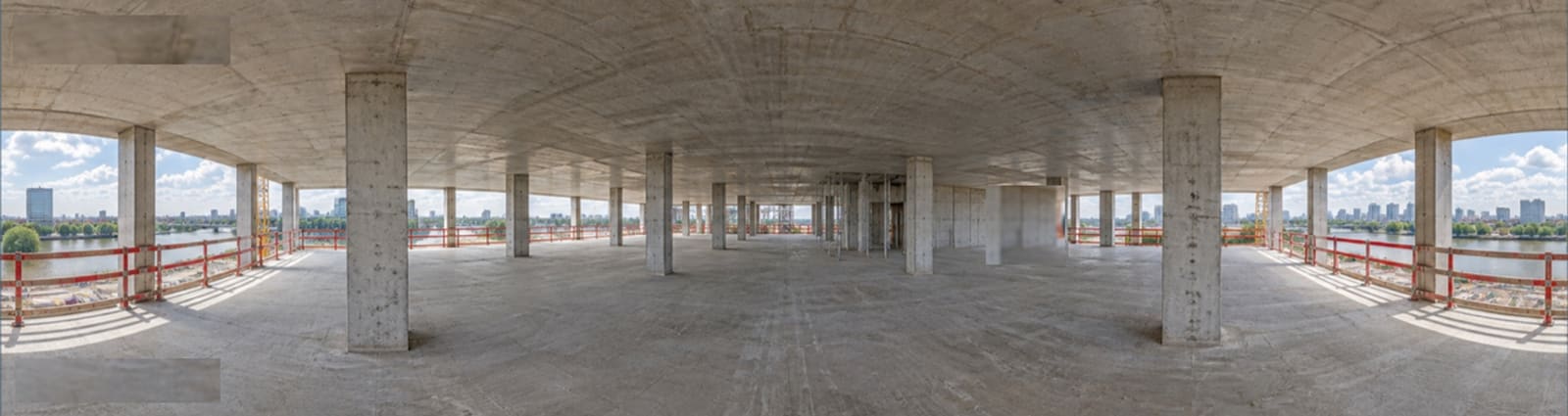 Level 02/Core
Still image
03 / Before & after
What changed since we last met?
In the owner meeting, pull up two captures and show the progress yourself.

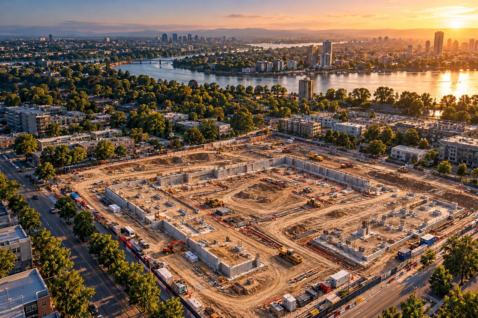 BeforeJan 10, 2024
AfterAug 14, 2024
04 / Share the view
Can you send me that view?
Send a link to the exact view you were looking at, so everyone starts in the same place.
Sharing is included. No extra charge.
Built from years on active jobsites at Texas Drone Company
Sites change. The record stays.
SiteRecord is in private beta. Ask for an invitation and we will be in touch.